

In February, Trump administration officials waived over two dozen environmental laws to clear the way for a 150-mile-long border barrier through West Texas, including Big Bend National Park.
Then in early April, an interactive map on the CBP website showed the agency planned to instead install “virtual wall” technology in the region that would alert Border Patrol agents when people cross the border. CBP officials took down the map in late April, and it is not currently available on the agency’s website.
Opponents of the wall being built in Big Bend have expressed skepticism that federal officials’ will make good on their statements about withdrawing from construction in the region, and point to the repeated altering and subsequent removal of the online map. Local residents near Big Bend sued the Trump administration in mid-April, arguing that federal officials waived the regulations illegally in pursuit of the construction project.
Funds acquired through the “One Big, Beautiful Bill,” President Donald Trump’s key spending package, direct CBP to construct a multifaceted barrier system, or a “Smart Wall,” across the southern border with Mexico. The proposed barriers would include bollard walls and patrol roads, as well as surveillance technology and floating buoys placed in the Rio Grande.
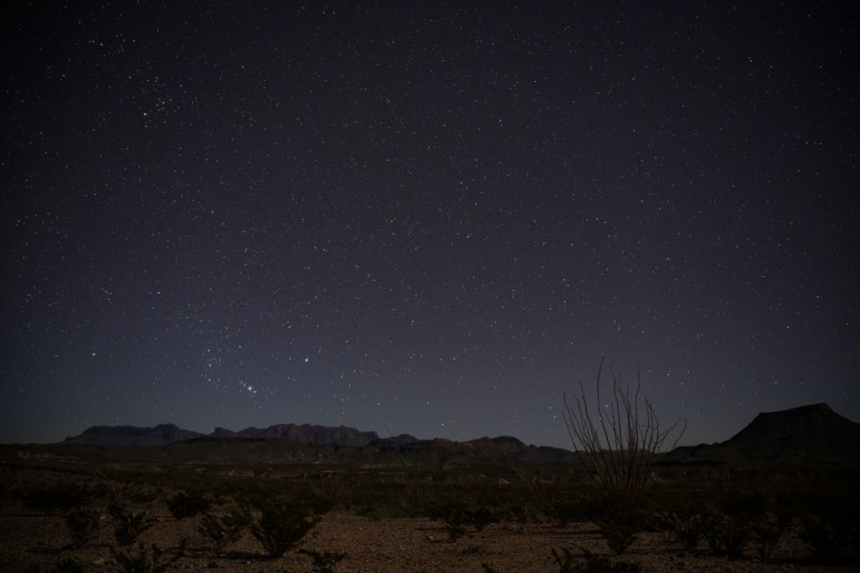
The Border Patrol’s 517-mile Big Bend Sector has historically been the least busy of the nine sectors, with agency apprehensions in the region accounting for 1.3% of more than 237,000 across the U.S.-Mexico border in fiscal year 2025.